
Interactive Map Navigate Île de la Cité
Explore the compact yet treasure-rich geography of Île de la Cité with our interactive mapping resources. This historic island, measuring just 22 hectares (54 acres), contains more architectural and cultural significance per square meter than virtually any other location in Europe. Use these maps to plan your visit and discover both iconic landmarks and hidden gems.
🗺️ Essential Navigation Tips
Walking Time: You can walk the entire perimeter of the island in approximately 20 minutes
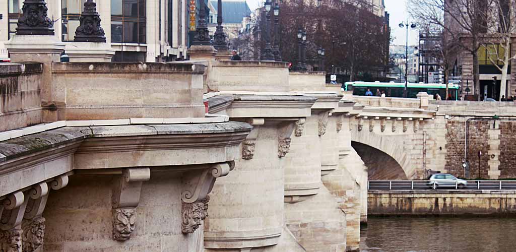
Key Landmarks: Notre-Dame (center), Sainte-Chapelle (north), Conciergerie (northwest), Pont Neuf (west)
Metro Access: Cité station (Line 4) and Pont Neuf station (Line 7) provide direct access
Best Starting Point: Place Jean-Paul II (in front of Notre-Dame) for orientation
Current Map of Île de la Cité
This detailed Google map reveals the island's current layout, showing major attractions, streets, and connections to both banks of the Seine. Notice the relationship with Île Saint-Louis to the east, connected by Pont Saint-Louis, and the multiple bridges linking the island to mainland Paris.
View Larger Interactive Map
Historical Geographic Evolution
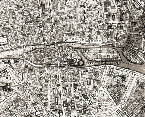
The fascinating geographic history of Île de la Cité reveals dramatic changes over the centuries. This 1705 historical map shows that the island once had two smaller neighboring islands to the east, where today only Île Saint-Louis remains. These smaller islands were gradually incorporated through land reclamation and bridge construction, fundamentally altering the Seine's flow pattern around the historic core.
Key Districts and Neighborhoods
Notre-Dame Quarter: The southeastern section dominated by the cathedral, Square Jean XXIII gardens, and the archaeological crypt. This area receives the heaviest visitor traffic and offers the most iconic photography opportunities.
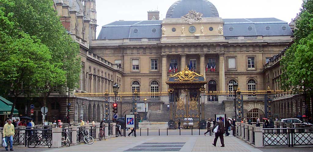
Palace Quarter: The western and northern sections containing Sainte-Chapelle, the Conciergerie, and the active law courts (Palais de Justice). This area maintains its medieval function as the center of royal and judicial power.
Residential Area: The quieter southwestern section around Place Dauphine and Rue Chanoinesse, where medieval houses preserve authentic Parisian character alongside modern residences and intimate restaurants.
Transportation and Access
Île de la Cité's central location makes it accessible from throughout Paris via multiple transportation options. The island is served by two Metro stations: Cité (Line 4) which emerges directly near the flower market, and Pont Neuf (Line 7) which provides access to the western tip.
Bus routes 21, 24, 27, 38, 85, and 96 serve various points around the island, while RER B and C lines connect to nearby stations at Châtelet-Les Halles and Saint-Michel Notre-Dame respectively. For visitors staying in central Paris, the island is easily walkable from most major attractions.
Seasonal Access Considerations
While the island's geography remains constant, seasonal factors affect navigation and access. Summer months bring increased pedestrian traffic requiring patience around major attractions. Winter offers clearer views and easier photography but shorter daylight hours for sightseeing.
Spring and autumn provide optimal visiting conditions with moderate crowds and excellent light for appreciating Gothic architecture. These shoulder seasons also offer the best opportunities to appreciate the island's relationship to the flowing Seine and the broader Parisian landscape.